

Gujarat: Cyclone Tauktae leaves behind a trail of destruction; 4 dead
Even as the cyclonic intensity weakened, it left behind a trail of destruction, with at least four people losing their lives- one each in Bhavnagar, Rajkot, Patan, and Valsad.

Ahmedabad: Four people were killed in Gujarat as cyclone Tauktae pounded parts of the state and left behind a trail of destruction along the western coast, officials said on Tuesday.
The landfall process of the eye of the extremely severe cyclonic storm Tauktae, which hit the Gujarat coast in the Saurashtra region between Diu and Una, ended around midnight, the India Meteorological Department (IMD) said.
It crossed the Gujarat coast as an “extremely severe cyclonic storm” and gradually weakened.
On Tuesday morning, it lay over the Saurashtra region near Amreli as a “very severe cyclonic storm,” the IMD said.
Even as the cyclonic intensity weakened, it left behind a trail of destruction, with at least four people losing their lives- one each in Bhavnagar, Rajkot, Patan, and Valsad, officials said.
The wind intensity reduced to 115-125 kmph gusting to 135 kmph, as the cyclone lay 10 km south of Amreli and around 95 km north-northeast of Diu, the IMD said in its morning bulletin.
It was likely to move further north-north eastwards and gradually weaken into a “severe cyclonic storm” during the next three hours, the IMD said.
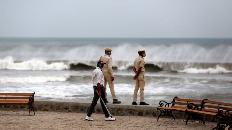
“Due to the cyclone, most places of Gujarat and Saurashtra meteorological regions of the state are likely to receive light to moderate rainfall on Tuesday, with heavy to very rainfall and extremely heavy rainfall in isolated places in these areas,” it said.
The wind speed is likely to decrease during the day, it said, adding that “astronomically high” tidal waves would continue to inundate the area, it said.
At least four deaths due to the cyclone were officially confirmed so far.
An official of the State Emergency Operation Centre (SEOC) said three of the casualties were reported due to the falling of walls following heavy rains and strong winds.
The deceased included one each from Rajkot, Valsad, and Bhavnagar, one of the worst affected districts by the cyclone in the state.
Besides, an electric pole fell on a woman while she was sleeping in Patan town late Monday night amid strong wind, an official from Patan A-division police station said.
Several areas in the coastal regions of Gujarat plunged into darkness on Monday night due to a power outage, while a large number of trees, electric poles, and mobile towers got uprooted amid the high-speed winds.
Temporary structures were also destroyed in the strong wind, while heavy rainfall in the affected regions caused flooding and tree falls led to blocked roads.
Army personnel and other rescue teams immediately swung into action to clear the roads by removing trees and poles and restoring damaged structures.
Between 10 pm and midnight, several parts of the coastal districts of Gir Somnath, Amreli, and Bhavnagar as well as parts of Valsad district in south Gujarat received heavy rainfall, as per the SEOC data.
Una in Gir Somnath, one of the worst affected taluka, received the highest amount of rainfall at 175 mm in 12 hours till 4 am Tuesday.
During this period, Gir Gadhada in the Gir Somnath district received 173 mm rainfall, Savarkundla in Amreli and Umargam in Valsad got 167 mm rain each, Palitana in Bhavnagar district 114 mm rainfall, and Amreli 102 mm rainfall.
Seventy-one talukas in the state received some amount of rainfall due to the cyclone, the SEOC said.
The IMD said the cyclone has weakened into a ‘very severe cyclonic storm’ from the ‘extremely severe cyclonic storm’.
“The entire eye of the cyclone has now crossed the coast and lies over land. The rear sector of the eye is now entering the land,” the IMD said in a tweet after midnight.
Landfall is the storm moving over the land after its intensification in the ocean (heat source). A cyclone is said to make landfall when the centre of the storm (eye) moves across the coast.
The landfall brings with it high-speed winds, severe storm surge, and torrential downpour. The storm usually weakens rapidly after landfall as the ocean heat and moisture that fuels it are no longer available.
The cyclone hit the coast between Diu and Una around 9 pm on Monday and ended around midnight, the IMD said.
The state government had shifted over two lakh people to safer locations before the cyclone hit the Gujarat coast.
The place above which the eye of a cyclone crosses is designated as the place of landfall, an official said.
The landfall process started with the entry of the “forward sector of the eye of the cyclone” into the land near the Union Territory of Diu with a wind speed of between 150 and 175 km per hour, IMD officials said.